Atlanta Metro Atlas - Softcover
Zu dieser ISBN ist aktuell kein Angebot verf�gbar.
Alle Exemplare der Ausgabe mit dieser ISBN anzeigen:
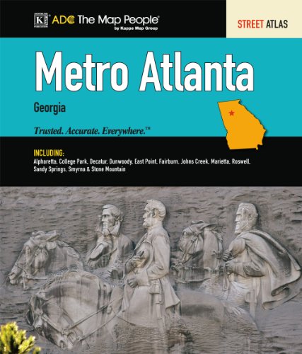
Metro Atlanta, Georgia Street Atlas is a full color atlas by Universal Map. The atlas provides a legend detailing highway information, boundaries, and places of interest.
Shows the MARTA Rail System, a Downtown Atlanta Map with a places of interest guide, Historic Marietta, Antebellum Roswell, Georgia State University, Georgia Institute of Technology, Emory University, kennesaw State College, the William B. Hartsfield Atlanta International Airport with the terminal, atrium, and concourses, a Greater Atlanta Area map, and a Map Locator.
Followed by 132 maps which contain the cities and communities of Acworth, Alpharetta, Austell, Avondale Estates, Berkeley Lake, Chamblee, Clarkston, College Park, Decatur, Doraville, Duluth, East Point, Fairburn, Forest Park, Hapeville, Jonesboro, Kennesaw, Lake City, Lilburn, Lithia Springs, Lithonia, Morrow, Mountain Park, Norcorss, Palmetto, Pine Lake, Powder Springs, Riverdale, Smyrna, Stockbridge, Stone Mountain, Union City, and Woodstock.
Other features include travel routes, railroads, Marta stations, boundaries, ZIP codes and boundaries, land lot line/numbers, address numbers, national parks, parks, golf courses, industrial parks, cemeteries, shopping centers, colleges and universiteis, hospitals, libraries, government buildings, schools, fire and police stations, post offices marinas, picnic areas, boat ramps, campgrounds, beaches, airports, and points of interest.
Map books are treasured as travel guides because of their convenience, detail, and area of coverage.
Die Inhaltsangabe kann sich auf eine andere Ausgabe dieses Titels beziehen.
- VerlagKappa Map Group
- Erscheinungsdatum2008
- ISBN 10 0762572647
- ISBN 13 9780762572649
- EinbandSpiral-bound
- Anzahl der Seiten192
(Keine Angebote verf�gbar)
Buch Finden: Kaufgesuch aufgebenSie kennen Autor und Titel des Buches und finden es trotzdem nicht auf AbeBooks? Dann geben Sie einen Suchauftrag auf und wir informieren Sie automatisch, sobald das Buch verf�gbar ist!
Kaufgesuch aufgeben