Verwandte Artikel zu Motorways and Main Roads Map Ireland

Zu dieser ISBN ist aktuell kein Angebot verfügbar.
Reseña del editor
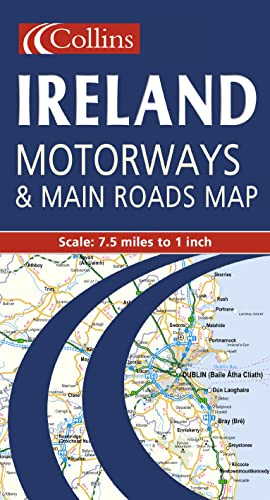
7.5 miles to 1 inch 1:475,000 Extremely clear full colour mapping, ideal for route planning.
MAIN FEATURES
· Colour classified roads
· Selected tourist features
· Comprehensive index to place names
· Key to symbols is in English, French and German
INCLUDES
· Distance Chart
· Ferry information
· Selected physical features
· Railways and airports
AREA OF COVERAGE
The whole of Ireland is covered at 7.5 miles to 1 inch.
WHO THE PRODUCT IS AIMED AT
The clear, easy to understand mapping is ideal for both residents and visitors who require a route planning map.
Contraportada
MAIN FEATURES
·
Colour classified roads
·
Selected tourist features
·
Comprehensive index to place names
·
Key to symbols is in English, French and German
INCLUDES
·
Distance Chart
·
Ferry information
·
Selected physical features
·
Railways and airports
AREA OF COVERAGE
The whole of Ireland is covered at 7.5 miles to 1 inch.
WHO THE PRODUCT IS AIMED AT
The clear, easy to understand mapping is ideal for both residents and visitors who require a route planning map.
„Über diesen Titel“ kann sich auf eine andere Ausgabe dieses Titels beziehen.
- VerlagCollins
- Erscheinungsdatum2000
- ISBN 10 0004489748
- ISBN 13 9780004489742
- EinbandMapa
(Keine Angebote verfügbar)
Buch Finden: Kaufgesuch aufgebenSie kennen Autor und Titel des Buches und finden es trotzdem nicht auf AbeBooks? Dann geben Sie einen Suchauftrag auf und wir informieren Sie automatisch, sobald das Buch verfügbar ist!
Kaufgesuch aufgeben![9780004488134: Motorways and Main Roads Map Ireland [Idioma Inglés]](http://assets.prod.abebookscdn.com/cdn/shared/images/common/loading/collections-spinner.gif)
