Verwandte Artikel zu RAC Road Atlas Britain (RAC Atlases)
Zu dieser ISBN ist aktuell kein Angebot verf�gbar.
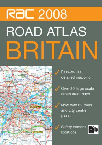
Rese�a del editor
This A4 format, spiral bound, road atlas features clear, detailed road mapping with physical relief shading. It includes a wide range of large scale urban area maps plus 62 town and city plans. Safety camera locations are indicated and it features dedicated, fully indexed London mapping at 5 inches to 1 mile. Additional features include: motorway services listed with facilities information, motorway junction access information, park and ride locations, places of interest indicated, blue flag beaches and surfing beaches shown, and a distance chart. It is fully indexed. This popular A4 format with lie-flat spiral binding is ideal to keep in the car as a handy reference tool and the paper is sourced from a sustainable forest, making it environmentally friendly.
��ber diesen Titel� kann sich auf eine andere Ausgabe dieses Titels beziehen.
- VerlagCollins
- Erscheinungsdatum2007
- ISBN 10 0007796994
- ISBN 13 9780007796991
- EinbandEncuadernaci�n en espiral
- Anzahl der Seiten304
(Keine Angebote verf�gbar)
Buch Finden: Kaufgesuch aufgebenSie kennen Autor und Titel des Buches und finden es trotzdem nicht auf AbeBooks? Dann geben Sie einen Suchauftrag auf und wir informieren Sie automatisch, sobald das Buch verf�gbar ist!
Kaufgesuch aufgeben
