Verwandte Artikel zu Map of the Inland Waterways of Great Britain
Zu dieser ISBN ist aktuell kein Angebot verf�gbar.
Alle Exemplare der Ausgabe mit dieser ISBN anzeigen:
Rese�a del editor:
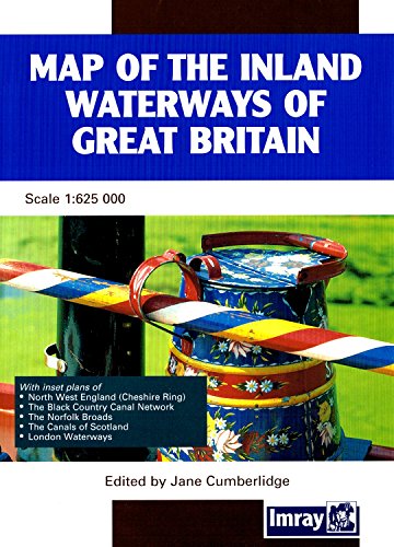
Clearly printed in full colour showing navigable and abandoned waterways with distances, this map has been completely revised and redrawn under the supervision of Jane Cumberlidge. It includes plans of North West England, The Cheshire Ring, Black Country Canals, the Norfolk Broads, the London Canal network and the small scale plan to show the Scottish Waterways. Imray's map has been standard reference to the Waterways system for nearly 50 years. Scale 1:6 2500, 28 x 40 fold-out map in cover.
��ber diesen Titel� kann sich auf eine andere Ausgabe dieses Titels beziehen.
- VerlagImray, Laurie, Norie & Wilson Ltd
- Erscheinungsdatum2001
- ISBN 10 0852885792
- ISBN 13 9780852885796
- EinbandMapa
(Keine Angebote verf�gbar)
Buch Finden: Kaufgesuch aufgebenSie kennen Autor und Titel des Buches und finden es trotzdem nicht auf AbeBooks? Dann geben Sie einen Suchauftrag auf und wir informieren Sie automatisch, sobald das Buch verf�gbar ist!
Kaufgesuch aufgeben