Verwandte Artikel zu Canterbury 1906: Kent Sheet 46.03 (Old Ordnance Survey...
Zu dieser ISBN ist aktuell kein Angebot verf�gbar.
Alle Exemplare der Ausgabe mit dieser ISBN anzeigen:
- VerlagAlan Godfrey Maps
- Erscheinungsdatum2010
- ISBN 10 1847843980
- ISBN 13 9781847843982
- EinbandMapa
Neu kaufen
Mehr zu diesem Angebot erfahren
EUR 3,30
Versand:
EUR 35,48
Von Vereinigtes K�nigreich nach USA
Beste Suchergebnisse bei AbeBooks
Beispielbild f�r diese ISBN
Canterbury 1906: Kent Sheet 46.03 (Old Ordnance Survey Maps of Kent)
Anbieter:
Bewertung
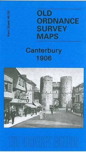
Buchbeschreibung No Binding. Zustand: New. No Jacket. Here are the details of maps for Canterbury: Kent Sheet 46.03 Canterbury 1906 - published 2010; intro by Barrie Trinder. ISBN.978-1-84784-398-2 This detailed and busy map covers most of central Canterbury, with coverage stretching from the Cemetery and London Road eastward to Longport Street and the Barracks, and from Hanover Road southward to Gordon Road. Features include city centre with individual buildings neatly shown, Cathedral, both railway stations with approaches, Harbledown Junction, Danejohn Mound, City Wall, St Gregory's church, St Mildred's church, remains of St Augustine's Abbey, Missionary College, Infantry Barracks, Artillery Barracks, Holy Cross church, St Dunstan's church, brewery, St Peter's church, Dean's Mill, Agricultural Hall, St Mildred's Tannery, Simon Langton Schools, Ersham House, Kent & Canterbury Hospital, St George the Martyr's church, etc. On the reverse we include a directory of city and cathedral officials. Bestandsnummer des Verk�ufers 005380
Weitere Informationen zu diesem Verk�ufer | Verk�ufer kontaktieren
Neu kaufen
EUR 3,30
W�hrung umrechnen