Verwandte Artikel zu Larne & Islandmagee 1900: Ireland Sheet 21 (Old...
Zu dieser ISBN ist aktuell kein Angebot verf�gbar.
Alle Exemplare der Ausgabe mit dieser ISBN anzeigen:
- VerlagAlan Godfrey Maps
- Erscheinungsdatum2011
- ISBN 10 1847844812
- ISBN 13 9781847844811
- EinbandMapa
Neu kaufen
Mehr zu diesem Angebot erfahren
EUR 3,30
Versand:
EUR 35,56
Von Vereinigtes K�nigreich nach USA
Beste Suchergebnisse bei AbeBooks
Beispielbild f�r diese ISBN
Larne & Islandmagee 1900: Ireland Sheet 21 (Old Ordnance Survey Maps - Inch to the Mile)
Anbieter:
Bewertung
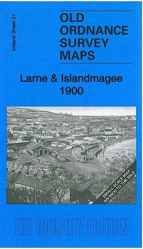
Buchbeschreibung No Binding. Zustand: New. No Jacket. Here is information about Sheet 21: Ireland Sheet 21 Larne & Islandmagee 1900 - published 2011; intro by Alan Godfrey. ISBN.978-1-84784-481-1 This Inch to the Mile map covers Larne, Larne Lough and Islandmagee. Coverage stretches from Ballgalley Head southward to Glenoe. Inevitabvly there is rather a lot of sea on this map, which also includes the Maidens or Hulin Rocks. On the reverse we include a detailed map of the village of Glynn. Bestandsnummer des Verk�ufers 002866
Weitere Informationen zu diesem Verk�ufer | Verk�ufer kontaktieren
Neu kaufen
EUR 3,30
W�hrung umrechnen