
Verwandte Artikel zu Compact Chart Book for Washington Waters
Inhaltsangabe
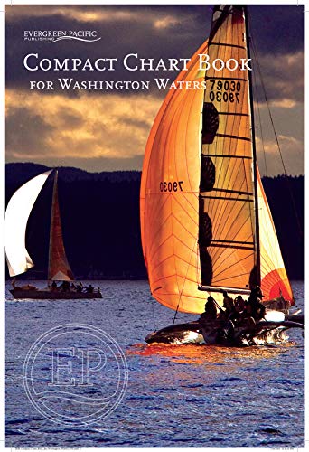
Compact Chart Book for Washington Waters, comprised of 94 pages in a saddle stitch binding. Includes 43 pages of large scale charts of harbors and bays, aids to navigation, U.S. and Canadian Customs information, Facilities index, Index of Islands, Bays, Harbors, Passages, Towns, and special sites and parks. Plus bar advisory for Columbia and Quillayute Rivers, and Williapa Bay and Grays Harbor. Covers all of Puget Sound, the San island Islands, the Strait of Juan De Fuca, and the west coast of Washington State to Columbia River.
Die Inhaltsangabe kann sich auf eine andere Ausgabe dieses Titels beziehen.
Suchergebnisse für Compact Chart Book for Washington Waters

Beispielbild für diese ISBN
Compact Chart Book for Washington Waters
Verlag:
Evergreen Pacific Publishing, 2020
ISBN 10: 1934707597
ISBN 13: 9781934707593
Gebraucht
Soft cover
Anbieter: kelseyskorner, Blaine, WA, USA
Verkäuferbewertung 5 von 5 Sternen

Soft cover. Zustand: Very Good. Softcover book with no markings in good clean condition.Good clean pages.Good clean cover. Bestandsnummer des Verkäufers 61-33285
Gebraucht kaufen
EUR 28,80
EUR 3,90 Versand
Versand innerhalb von USA
Versand innerhalb von USA
Anzahl: 1 verfügbar