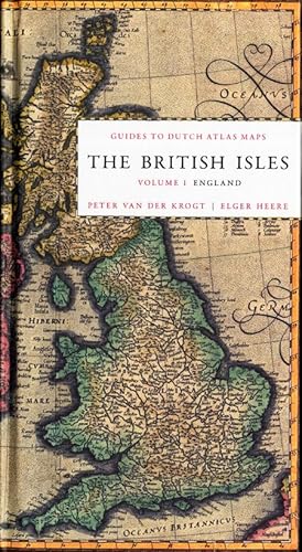
Reference Book-The British Isles: England-CARTOGRAPHY-MAPMAKING-Krogt-2012
Verkäufer ThePrintsCollector, Zeeland, Niederlande
Verkäuferbewertung 5 von 5 Sternen
AbeBooks-Verkäufer seit 3. April 2017
Verkäufer ThePrintsCollector, Zeeland, Niederlande
Verkäuferbewertung 5 von 5 Sternen
AbeBooks-Verkäufer seit 3. April 2017
Beschreibung
Reference Author: Krogt, Peter van der.Title: The British Isles, vol. 1: England. Guides to Dutch Atlas Maps I.Impressum: Houten / New Castle: Hes & De Graaf / Oak Knoll, 2012. Subject(s): Cartography,Mapmaking.Dimensions ca. 13 x 24 cm. (ca. 5.1 x 9.4 inch). 8vo.Collation: 256 pp.With circa 175 b/w reproductions.A descriptive catalogue of all the maps of England, published in Dutch atlases between 1570 and 1650. Contains, therefore, all the maps from such legendary map/atlasmakers as Ortelius, Mercator-Hondius, Janssonius, Blaeu and their followers.Original pictorial boards.Cover condition: Near fine: spine ends of the dustjacket creased, small tear in the dustjacket.Inside condition: Fine. Storage location: Plank 1. Bestandsnummer des Verkäufers 30366
Bibliografische Details
Titel: Reference Book-The British Isles: ...
Einband: Hardcover
Zustand des Schutzumschlags: Schutzumschlag
Anbieterinformationen
Zahlungsarten
akzeptiert von diesem Verkäufer