Beschreibung
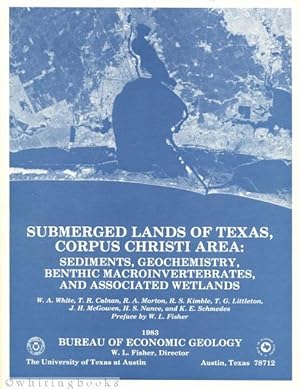
Small crease to lower corner of rear cover and about the last 20 pages. Slipcase shows minor wear. Maps (plates) collected together in a sleeve inside slipcase. From the Submerged Lands of Texas series, this volume is about the Corpus Christi area. From the Preface by William L. Fisher, Director, Bureau of Economic Geology: "The atlases of the submerged lands of Texas will present an extensive spatial data base of sediment textural parameters, sediment geochemistry, benthic macroinvertebrates, and associated wetlands. Identifying, mapping, and characterizing these essential components of nearshore coastal environments provide important baseline information in anticipating, managing, and measuring the effects of the multitude of coastal activities that are directly and indirectly tied to submerged lands." 154 pages, illustrated with many figures tables and the following plates (in pocket): I) Surface sediment distribution: gravel, sand, silt, mud, clay, and mean grain size; II) Distribution of TOC, barium, boron, and calcium in surface sediments; III) Distribution of chromium, copper, iron, and lead in surface sediments; IV) Distribution of manganese, nickel, strontium, and zinc in surface sediments; V) Distribution of wetlands and benthic macroinvertebrates; VI) Sample station number and locations. NOTE: These plates are very large, folded maps. Bestandsnummer des Verkäufers 01483
Verkäufer kontaktieren
Diesen Artikel melden
Bibliografische Details
Titel: Submerged Lands of Texas, Corpus Christi ...
Verlag: Bureau of Economic Geology, the University of Texas at Austin, Austin, Texas
Erscheinungsdatum: 1983
Einband: Soft Cover in Slipcase
Zustand: Near Fine
Zustand des Schutzumschlags: No Jacket
![]()


