
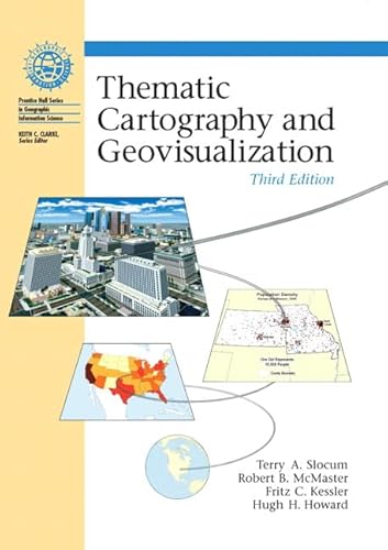
Thematic Cartography and Geovisualization, 3rd Edition
Terry A. Slocum,Robert B. McMaster,Fritz C. Kessler,Hugh H. Howard
ISBN 10: 0132298341 ISBN 13: 9780132298346
Verlag: Pearson, 2008
Gebraucht
hardcover
Verkäufer
HPB-Red, Dallas, TX, USA
Verkäuferbewertung 5 von 5 Sternen

AbeBooks-Verkäufer seit 11. März 2019
Dieser Artikel ist nicht mehr verfügbar.
Beschreibung
Beschreibung:
Connecting readers with great books since 1972! Used textbooks may not include companion materials such as access codes, etc. May have some wear or writing/highlighting. We ship orders daily and Customer Service is our top priority! Bestandsnummer des Verkäufers S_444216312
Inhaltsangabe:
This comprehensive volume blends broad coverage of basic methods for symbolizing spatial data with an introduction to cutting-edge data visualization techniques. KEY TOPICS: Offers clear descriptions of various aspects of effective, efficient map design, with an emphasis on the practical application of design theories and appropriate use of map elements. Clearly contrasts different approaches for symbolizing spatial data, in addition to individual mapping techniques. This edition includes updated material on the history of thematic cartography, maps and society, scale and generalization, and cartograms and flow mapping. For those interested in learning more about cartography.
Über die Autorin bzw. den Autor:
Terry A. Slocum currently is an Associate Professor in the Department of Geography at the University of Kansas. He received his B.A. and M.A. from SUNY at Albany, and his Ph.D. from the University of Kansas. Professor Slocum has published extensively in numerous refereed outlets, including Cartography and Geographic Information Science, Cartographica, Journal of Geography, Annals of the Association of American Geographers, The Professional Geographer, and The British Cartographic Journal. He has authored the books Thematic Cartography and Visualization (Prentice-Hall, 1999) and Thematic Cartography and Geographic Visualization (Pearson Education, Inc., 2005) . From 1999 to 2002 , he served as editor of Cartography and Geographic Information Science. He has been involved in numerous grants, including two from the National Science Foundation, and has received two Teacher Appreciation awards from the Center for Teaching Excellence (CTE) at the University of Kansas. From 2003 to the present, he has served as Chair of the Department of Geography at the University of Kansas.
Fritz Kessler is currently an Associate Professor at Frostburg State University (FSU) located in Frostburg, MD and has been teaching a variety of geography courses since the fall of 1999. Professor Kessler’s cartographic background has evolved through a variety of cartographic related positions. He began his career in cartography while working in Ohio University’s Cartographic Center as an undergraduate student. After graduating from Ohio University in 1988 with a B.S. in Geography, he worked for the USGS Water Resource Division in Towson, MD as a Cartographic Technician. After receiving his M.S. from Penn State in 1991, he joined Intergraph as a Systems Analyst in Huntsville, AL. Desirous to return to production cartography, he took a position with R. R. Donnelley and Sons as a Cartographer. Although a fascinating experience, he chose to return to pursue his Ph.D. at the University of Kansas, during which time he worked for the Kansas State Geological Survey as a GIS Technician and as a Map Librarian at the T. R. Smith Map Library.
In his ninth year of teaching at FSU, Fritz also holds a joint appointment through Penn State where he teaches and online course on map projections, datums, and coordinate systems in the Master of Geographic Information Systems degree program. Fritz has published in Cartographica, Cartography and Geographic Information Science, and American Congress on Surveying and Mapping’s Bulletin. Fritz is currently the Editor of Cartographic Perspectives, a peer-reviewed journal focusing on a broad array of cartographic topics, has served on the North American Cartographic and Information Society’s Board of Directors, and was the Secretary in the International Cartographic Association’s Working Group on Map Projections.
„Über diesen Titel“ kann sich auf eine andere Ausgabe dieses Titels beziehen.
Bibliografische Details
Titel: Thematic Cartography and Geovisualization, ...
Verlag: Pearson
Erscheinungsdatum: 2008
Einband: hardcover
Zustand: Good
Auflage: 3. Auflage