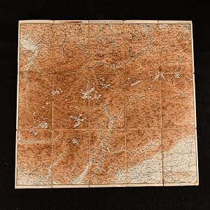
Uebersichts-Karte der Ostalpen Westliches Blatt
L. Ravenstien
Verkäufer Rooke Books PBFA, Bath, Vereinigtes Königreich
Verkäuferbewertung 5 von 5 Sternen
AbeBooks-Verkäufer seit 18. Mai 2007
Verkäufer Rooke Books PBFA, Bath, Vereinigtes Königreich
Verkäuferbewertung 5 von 5 Sternen
AbeBooks-Verkäufer seit 18. Mai 2007
Beschreibung
A detailed large folding colour map of the Eastern Alps. A large folding map of the Eastern Alps.The map details the mountains and hills of the Alps and the towns of Bozen, Innsbruck, Acro and the top of Lake Garda.To a scale of 1:500,000 with the text in German. On large linen back folding sheet. Sheet is generally bright and clean with some light age toning to the extremities. Good. Bestandsnummer des Verkäufers 834B41
Bibliografische Details
Titel: Uebersichts-Karte der Ostalpen Westliches ...
Verlag: German and Austrian Alpine Club, not stated
Erscheinungsdatum: 1892
Einband: Brochure/Pamphlet
Illustrator: Not Stated
Zustand: Good
Art des Buches: book
Anbieterinformationen
We send all our books on approval and we gladly accept returns for any reason in like condition within 30 days of purchase.
We now post only via DHL as weight for weight it is a very similar cost to recorded mail, but is fully tracked and much more reliable. This gives next day delivery to places as far afield as New York. Price is based on an average book weighing 1kg. if your book is very light it may be less, or more for sets and the like that are heavier.
Zahlungsarten
akzeptiert von diesem Verkäufer