
Readers reference atlas world (4 Ergebnisse)
 Weitere Bilder
Sprache: Englisch
Verlag: George Philip & Son, London Geographical Institute, Philip, Son & Nephew, Ltd., Liverpool., London, 1911
- Hardcover
- Erstausgabe
Anbieter: Lanna Antique, Perth, Vereinigtes KönigreichLanna Antique
Verkäufer/-in kontaktierenVerkäufer/-in mit 5 SternenVerbandsmitglied: PBFA
Zustand: Gebraucht - Gut
EUR 362,51
EUR 41,06 VersandVersand von Vereinigtes Königreich nach USAAnzahl: 1 verfügbar
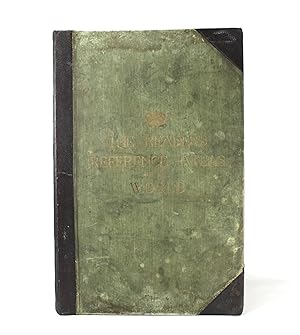
Hardcover. Zustand: Very Good. 1st Edition. The Reader's Reference Atlas of the World; A Series of 52 Plates, including 17 large scale maps of the British empire, with Gazetteer Index. Published by George Philip & Son, Ltd with the London Geographical Institute and in Liverpool; Philip, Son & Nephew, Ltd. 1911, 1st edition. A ve…ry substantial early 20th Century atlas with an impressive collection of colour plates. A very good copy after professional restoration. Original covers remounted and binding completely secured. New leather spine with title label. Rubbing and soiling to boards. Gilt title to front cover. Marbled endpapers. The text and plates are in very good condition with only minor age discoloration. Some professional paper tear repairs in places. An impressive tome of considerable scarcity. Only 2 copies of this 1911 first edition are listed in major libraries worldwide in Worldcat; The British Library and State Library of Victoria. Prelims + 54 Plates (52 x maps + 2 x national and mercantile flags) + 26pp Index; Plates are large double page colour spreads. Dimensions: Approximately 544mm x 360mm x 49mm - approximately 21" x 14" - large folio size (classed as Imperial Folio). Weight approximately 4.6kg unpacked. No extra postage is payable other than the cost shown.

Verlag: George Philip & Son, Ltd., 1930
- Hardcover
Anbieter: West Grove Books, London, Vereinigtes KönigreichWest Grove Books
Verkäufer/-in kontaktierenVerkäufer/-in mit 5 SternenZustand: Gebraucht - Gut
EUR 108,75
EUR 4,81 VersandVersand von Vereinigtes Königreich nach USAAnzahl: 1 verfügbar
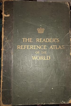
Hardcover. Zustand: Very Good. Large folio (383 x 560mm). In original green quarter morocco, with green cloth sides, front board and spine gilt-stamped. teg. Cloth-jointed marbled endpapers. New & revised edition. 1930. A series of 68 plates illustrating the territorial changes effected and the new states created, by the treatie…s of peace, with 21 large-scale maps of the British empire and a descriptive gazetteer-index of over 100,000 names. All plates bound on stubs for perfect opening. Together with census returns for Great Britain (1921), and the United States (1920). Corners bumped and leather splitting on hinge, but the boards are firmly fixed and the text-block tight with no sign of damage or wear. A lovely complete copy of this atlas.
 Weitere Bilder
Verlag: George Philip & Son, London, No Date, C 1922, 1922
Anbieter: Ely Books, ELY, CAMBS, Vereinigtes KönigreichEly Books
Verkäufer/-in kontaktierenVerkäufer/-in mit 5 SternenZustand: Gebraucht
EUR 126,88
EUR 24,64 VersandVersand von Vereinigtes Königreich nach USAAnzahl: 1 verfügbar
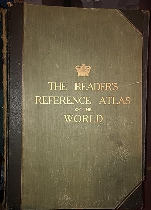
With 173 pp index, and with census returns for Great Britain (1921), and the United States (1920). The title page states that there are 68 plates & maps, BUT the list of plates only calls for the two Flag plates and 64 maps, numbered 1-64. Contemporary half leather; rubbed. Good copy. Size: 68 X 36.5 Cms. 64 Maps Plus 2 Flag Pla…tes. (illustrator).
 Weitere Bilder
Verlag: George Philip & Son, London, No Date, C 1918, 1918
Anbieter: Ely Books, ELY, CAMBS, Vereinigtes KönigreichEly Books
Verkäufer/-in kontaktierenVerkäufer/-in mit 5 SternenZustand: Gebraucht
EUR 151,05
EUR 24,64 VersandVersand von Vereinigtes Königreich nach USAAnzahl: 1 verfügbar
With 26pp index. The Map of the World showing German possessions at the beginning of the First World War, and states: They are now captured by the allies, starting with Togo, August 1914 and ending with German East Africa, December 1 1917. Contemporary half leather; The covers a little rubbed. A Very Good copy. Size: 68 X 36.5 C…ms. 54 Maps and Plates, Complete (illustrator).


