
Gesamtpreis (1 Artikel Artikel):
Versandziel:

tenby surrounding area sheet von ordnance survey (3 Ergebnisse)
Direkt zu den wichtigsten Suchergebnissen
Produktart
- Alle Produktarten
- Bücher (2)
- Magazine & Zeitschriften
- Comics
- Noten
- Kunst, Grafik & Poster
- Fotografien
- Karten (1)
-
Manuskripte &
Papierantiquitäten
Zustand
- Alle
- Neu
- Antiquarisch/Gebraucht
Einband
- alle Einbände
- Hardcover
- Softcover (2)
Weitere Eigenschaften
- Erstausgabe
- Signiert
- Schutzumschlag
- Angebotsfoto (2)
- Kein Print-on-Demand
Land des Verkäufers
Verkäuferbewertung
-
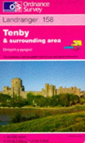
Tenby and Surrounding Area: Sheet 158 (Landranger Maps)
Verlag: Ordnance Survey, United Kingdom, Hants, 1990
ISBN 10: 031922158XISBN 13: 9780319221587
Buch
Paperback. Zustand: Very Good. This map is part of the Landranger (Pink) series and is designed for people who really want to get to know an area. It includes the following information: tourist information, camping and caravan sites, picnic areas and viewpoints, selected places of interest and rights of way information for England and Wales. Each map in the series covers an area of 40 km by 40 km (25 miles by 25 miles) and like other Ordnance Survey maps, National Grid squares are provided so that any feature can be given a unique reference number. Perfect for planning ahead and local excursions, these maps are full of useful information that will help you really get to know an area. The book has been read, but is in excellent condition. Pages are intact and not marred by notes or highlighting. The spine remains undamaged.
-
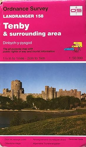
Landranger sheet 158: Tenby & surrounding area
Verlag: Ordnance Survey, 1994
ISBN 10: 031922158XISBN 13: 9780319221587
Anbieter: Acanthophyllum Books, Holywell, FLINT, Vereinigtes Königreich
Verbandsmitglied: PBFA
Bewertung:

Karte
Folded map. Zustand: V.g. Scale 1:50,000. Little used. Weight: 1 Language: English.
-
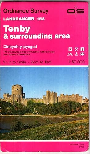
Tenby & Surrounding area. Landranger Sheet 158
Verlag: Ordnance Survey, 1985
ISBN 10: 031922158XISBN 13: 9780319221587
Buch
Paperback. Zustand: Good. Covers worn, map unmarked. Orders received by 3pm Sent from the UK that weekday.