

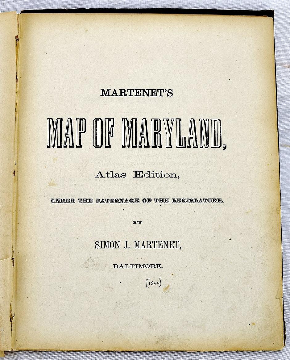
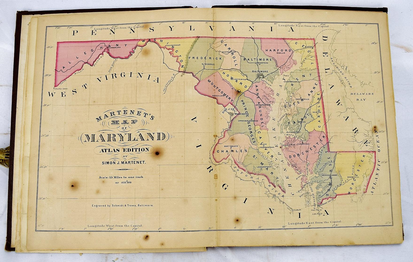
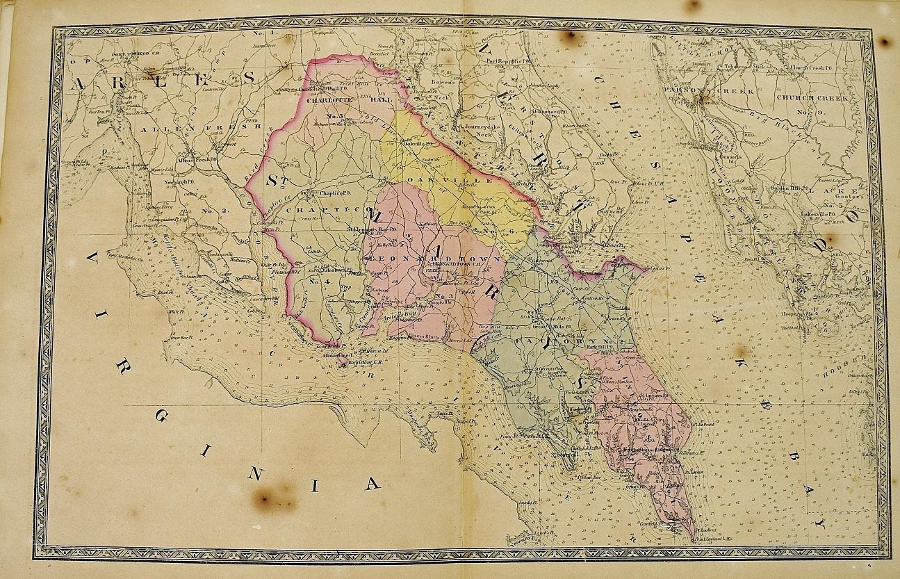
Martenet's Map of Maryland, Atlas Edition
Simon J Martenet; Engraved by Schmidt & Trows
Verlag: Baltimore : S.J. Martenet, 1866
Zustand: Fair
Hardcover
Verk�ufer Sequitur Books, Boonsboro, MD, USA
Verk�uferbewertung 5 von 5 Sternen
![]()
AbeBooks-Verk�ufer seit 16. Juni 2008
Verbandsmitglied: