Beschreibung
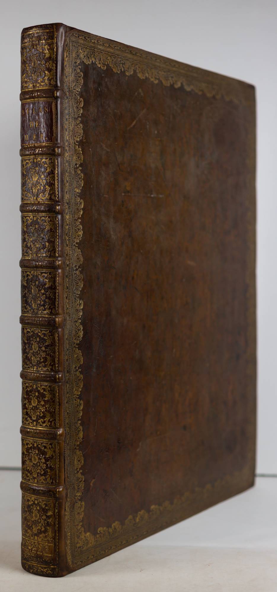
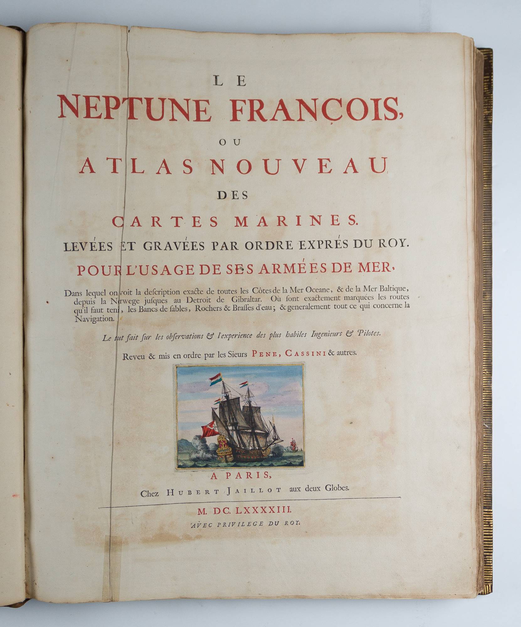
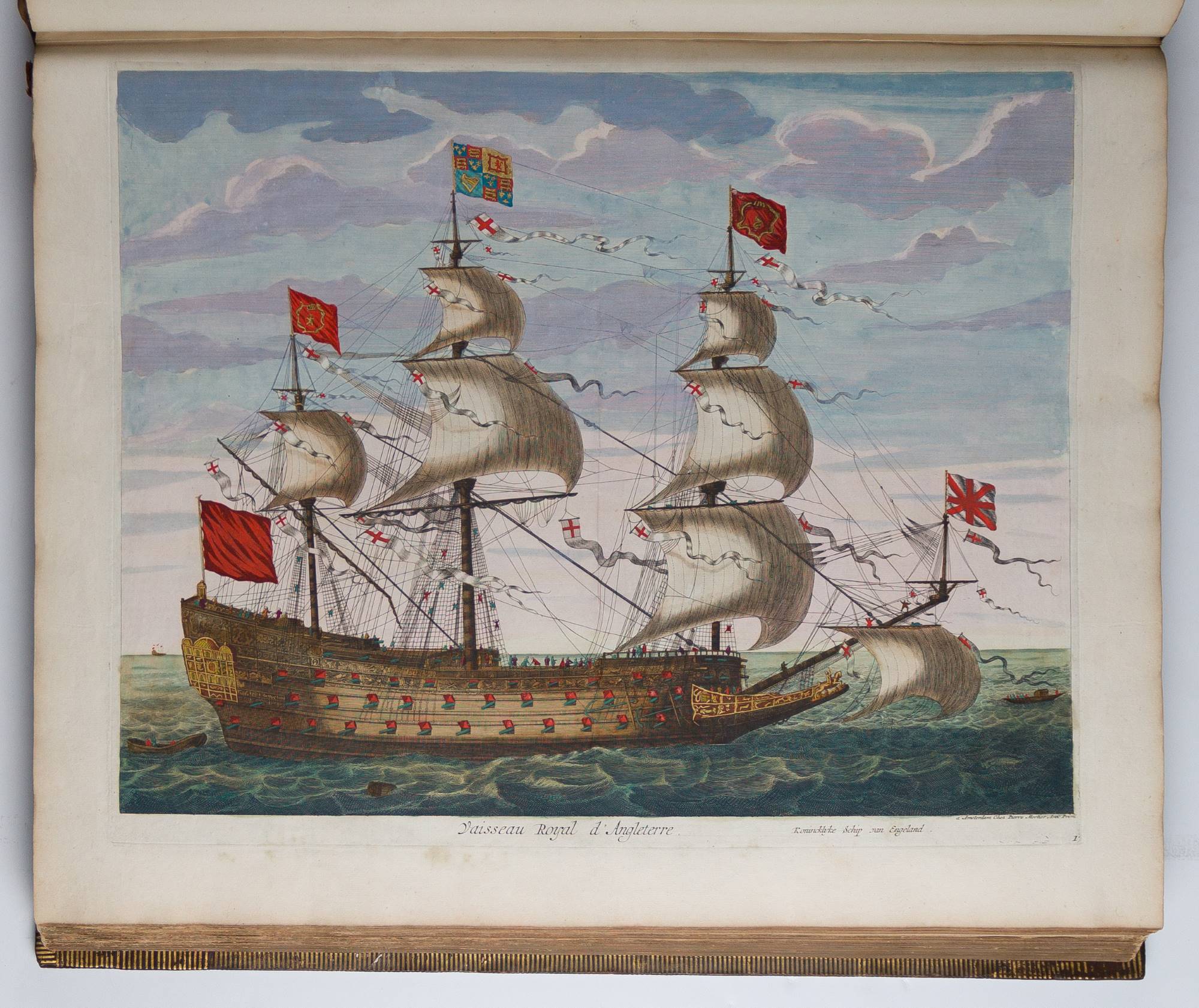
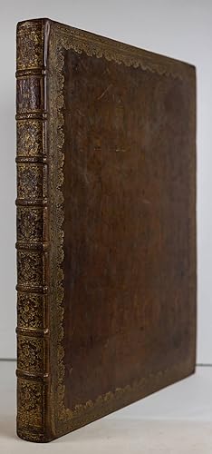
A FINELY COLORED EXAMPLE. Paris: Hubert Jaillot, 1693 [Amsterdam: Pieter Mortier, 1693-1703]. Broadsheet folio (24 11/16" x 19 15/16", 625mm x 505mm). [Full collation available.] With two engraved titles (Neptune and Atlas maritime in the position of the title for the Suite), engraved scale, engraved boussole (compass), 19 engraved naval plates, 12 engraved flag plates, all with hand-color heightened with gold; and 72 engraved charts (Neptune: 29 double-page, plus the double-page engraved world map from the Suite at the head; Cartes Marines: 9 engraved hand-colored charts (of which 5 are double-page and 1 folding); Suite: 34 engraved hand-colored plates (of which 22 are double and 1 folding; including the double-page world map at the head); all with hand-color in outline (the charts of the Cartes Marines with cartouches and vignettes colored in full) heightened with gold. Bound in XIXc calf (re-backed, with the original back-strip laid down) with an elaborate scrollwork border gilt. On the spine, eight raised bands. Title gilt to red calf in the second panel. Gilt roll to the edges of the boards. Marbled end-papers. All edges of the text-block gilt. Presented in a cream cloth clam-shell box with chemise. Re-backed (with the original back-strip laid down) and corners strengthened by Trevor Lloyd in 2017 (invoice available). Pigment oxidation and off-setting, extreme in some cases, with green sections perished or fragile. Worming through about two-thirds of the charts. Throughout the XVIIc, the Dutch had dominance over the cartographic market; the Golden Age of exploration holds equally for mapmaking. That dominance, however, was not unchallenged; the French -- Nolin, de Fer, Delisle, Sanson, Jaillot -- made very fine atlases indeed. In some instances, Dutch mapmakers collaborated with their French counter-parts, but in others, they simply circumvented strict copyright laws and engraved their own versions, plate-by-plate. Pierre Mortier (1661-1711; pron. "more-teer" rather than "more-tee-ay") worked in both capacities. Mortier was the son of a French refugee who, after a brief stint in Paris, worked in Amsterdam as an engraver, mapmaker and bookseller. From 1693, Mortier issued an Amsterdam edition of the Neptune François that had been brought out as a collaborative work in Paris (with Charles Pčne leading the charge under Colbert). All the plates were completely re-cut in the Netherlands, allowing Mortier to publish freely. In the present example, eight of the plates of the Neptune have had the date removed (imperfectly, in most cases) from the plates -- though not all those called for by Koeman -- in preparation of the 1703 edition; we might call the present item a mixed-issue. To this first part he added Romeyn de Hooghe's Cartes Marines of 1693 -- based on English rather than French sources -- and, in 1700, the Suite, which expanded the remit of the work using Portuguese sources, and limning the coasts of Africa, Asia and the Americas. Finding the three parts of the work bound together is rare, and complete rarer still. One interesting substitution is of the world map that leads off the charts. Koeman calls for a map including electromagnetic currents based on the work of Edmund Halley. By 1703 (Koeman's M. Mor 2 (edition B)), "Carte générale de toutes les costes du monde et les pays nouvellement découvert [sic], Dressé sur les Relations les plus Nouvelles" was included in the revised edition. In none of the three copies examined at Arader has the Halley map been present. In other respects, the owner has largely followed the order of the list of plates, excepting some reorganization of the Asian and American plates at the end of the Suite. Koeman, M. Mor 1 & 2 (Neptune), M. Mor 5 (Cartes Marines) and M. Mor 7 (Suite, but with the complement of maps called for in M. Mor 8, as usual); Pastoureau, Neptune Français Ba; Shirley 559 (world map). Bestandsnummer des Verkäufers JLR0411
Verkäufer kontaktieren
Diesen Artikel melden

