Beschreibung
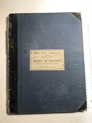
xii, 201 pages. 34 cm (4to). Original blue cloth hard cover with corner & spine leather. Paper label on top. With half title. 7 folding maps (some colored), 4 plates (1 folding colored), numerous wood-cuts. Chips at top & bottom spine. Spine partially detached. Corners slightly bumped. Binding loose. Text & maps are fine. "In 1857 and 1858, Hind was engaged as geologist and, later, commander of the surveying expeditions which explored the country between Lake Superior and the Red River, and between the Red River and the south branch of the Saskatchewan River. One purpose was to establish the possibility of an emigrant route west from Lake Superior. The report comments on Indian antiquities, manners, customs and superstitions (Sioux, Dakotas, Crees, Blackfoot), with observations on geology, climate, and the agricultural potentialities of the northwest. Of the utmost importance for the development of the area. Peel 211, TPL 3912, Sabin 31937. Bestandsnummer des Verkäufers 353
Verkäufer kontaktieren
Diesen Artikel melden
![]()


