Beschreibung
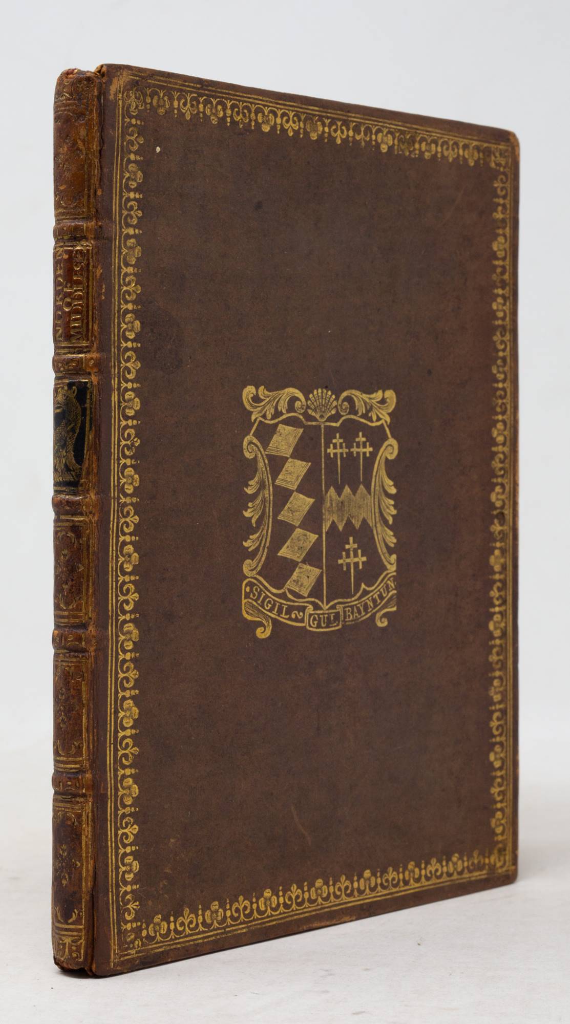
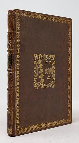
THE BAYNTUN COPY. [London: Eliot's Court Press,] 1593. Quarto (7 1/8" x 5 3/16", 180mm x 131mm). With an engraved title-page, the arms of Elizabeth engraved (within the pagination), and three folding engraved plates, with the map of Middlesex hand-colored. Bound in XVIIIc calf. On the front board, the arms of William Bayntun gilt within a gilt-roll border. On the read board, a griffin's head erased above a torse gilt within a gilt-roll border. On the spine, five raised bands. Author and title gilt to chestnut calf in the second panel. A griffin's head erased above a torse gilt to green calf in the third panel. Gilt roll to the edges of the boards. Marbled end-papers. Head- and tail-pieces perished. Cracking to the hinges, but still quite solid. Rubbing and patches of wear to the fore-corners. A 5mm hole with some smaller patches of wear to A3, with losses to a couple of letters on either side. A4 mounted and extended on the lower edge, with some loss a couple of letters on A4v. Dampstaining to the lower edges of A1-2. Map of London shaved a little. Map of "Myddlesex" in a later state, with the arms of James I. With intermittent soiling. Armorial bookplate of T. Thornhill to the front paste-down, atop a second bookplate (JM? cipher, partially perished). Ownership signature of G. Bayntun to the title-page, with a sum along the fore-edge. John Norden (ca. 1547-1625) was a cartographer who projected a grand project: mapping Britain. From a genteel rather than an aristocratic background, he surveyed for the upper classes, and would eventually become surveyor of the Duchy of Cornwall (then as now the province of the Prince of Wales), playing a large role in setting its finances in order. The present work, the first published part of the Speculum, is a description of Middlesex (a historical county, now subsumed by London). It is distinguished for containing the first county map to mark roads. The origin of the work was Norden's accompanying the exiled King of Portugal in his tour of England, and desiring a guide-book of sorts to be created for every county. Through the patronage of William Cecil, Lord Burghley, Norden passed into the very outer reaches of Queen Elizabeth's orbit, and continued his county surveys but never with proper financial support. The binding owner of the work was William Bayntun (1717-1785), a Fellow of the Society of Antiquaries and a noted bibliophile. The partially-perished bookplate is unclear, but antedates that of T[homas] Thornhill of Fixby. There are several generations holding that name, but based on the style of the bookplate and its placement, likely the one born in 1804; matriculated at Trinity College, Cambridge 1822; High Sheriff of Suffolk 1860; died 1875. Purchased at the sale of Lord Harlech of Glyn Cywarch (Bonham's London, 29 March 2017, lot 337). ESTC S113229; Howgego, Printed Maps of London 5.1. Bestandsnummer des Verk�ufers JLR0233
Verk�ufer kontaktieren
Diesen Artikel melden


