
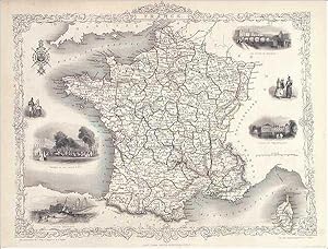
France, Tallis, ca.1851
John Tallis & Rapkin
Verlag: From the Montgomery Martin Illustrated Atlas., 1851
Karte
Zustand: Very Good
Verk�ufer Roz Hulse, Plymouth, DEVON, Vereinigtes K�nigreich
Verk�uferbewertung 5 von 5 Sternen
![]()
AbeBooks-Verk�ufer seit 28. Februar 2005