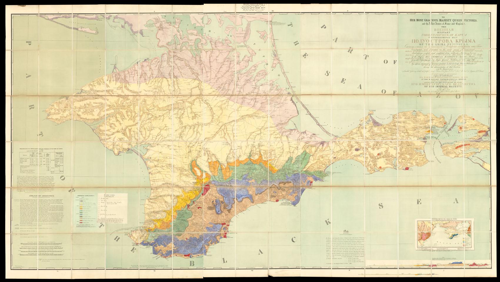
To her Most Gracious Majesty Queen Victoria, and the Allied Armies of France and England. This military topographical map of the Krima Peninsula, constructed, and founded, on the most recent astronomical observations, verified, and completed from authentic military surveys of the staff of his Imperial Majesty's Quarter Master General's Department, by Major General Mukhin in the year 1816; by express command of Governor General & Aid de Camp Prince Volkonski 2nd during his administration of that country. Is by her Majesty's permission inscribed by her very devoted and faithful servant Thomas Best Jervis F.R.S. Major of the Corps of Engineers E. J. Service. The original map was engraved and printed at the Military Topographical Dep�t. Attache
JERVIS, Colonel Thomas Best
Verlag: Entered at Stationers Hall, 20th May, 1854., London,, 1854
Karte
Verk�ufer Daniel Crouch Rare Books Ltd, London, Vereinigtes K�nigreich
Verk�uferbewertung 4 von 5 Sternen
![]()
AbeBooks-Verk�ufer seit 7. November 2011