
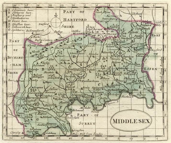
1784 Colored Historical Map of Middlesex
Verlag: Grose Antiquities
Kunst / Grafik / Poster
Zustand: very good
Verk�ufer Artisans-lane Maps & Prints, Victoria, BC, Kanada
Verk�uferbewertung 5 von 5 Sternen
![]()
AbeBooks-Verk�ufer seit 25. August 2021