Verwandte Artikel zu Netherton and Springfield 1901: Staffordshire Sheet...
Zu dieser ISBN ist aktuell kein Angebot verf�gbar.
Alle Exemplare der Ausgabe mit dieser ISBN anzeigen:
- VerlagAlan Godfrey Maps
- Erscheinungsdatum1995
- ISBN 10 0850547326
- ISBN 13 9780850547320
- EinbandMapa
Neu kaufen
Mehr zu diesem Angebot erfahren
EUR 1,62
Versand:
EUR 35,50
Von Vereinigtes K�nigreich nach USA
Beste Suchergebnisse bei AbeBooks
Beispielbild f�r diese ISBN
Netherton and Springfield 1901: Staffordshire Sheet 71.04 (Old O.S. Maps of Staffordshire)
Anbieter:
Bewertung
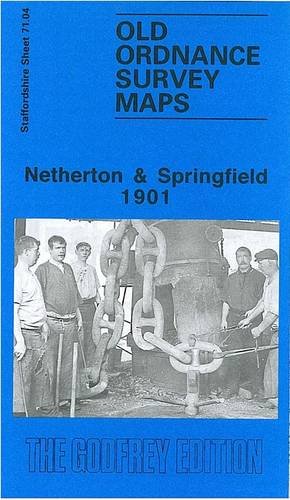
Buchbeschreibung No Binding. Zustand: New. Here are the details of maps for Netherton: Staffs Sheet 71.04a Netherton & Springfield 1901 - published 1995; intro by John Maddison. ISBN.978-0-85054-732-0 Staffs Sheet 71.04b Netherton & Springfield 1914 - published 2019; intro by Barrie Trinder. ISBN.978-1-78721-222-0 We have published two versions of this map, showing how the area changed across the years. They cover a busy industrial area south of Dudley, including Netherton, Darby End and Springfield. Coverage stretches from Simms Lane eastward to Cock Green. Features include central area of Netherton, with all buildings neatly delineated, including Library, pubs, chapels etc; Baptist End area, tramways, Baptistend Colliery, Primrosehill area, Saltwells Colliery pit, Netherton Works, Lloyds Proving House, GWR Withymoor Branch with Goods station, Netherton Colliery (disused), GWR Netherton & Halesowen Branch with Windmillend station, Windmill End area, Darby End area, Springfield, The Knowle area, Cock Green, Dudley Canal, several railway inclines, Warrens Hall Colliery, Birmingham Pottery, Netherton Tunnel Branch canal, Mudhall Colliery, Gadsgreen Reservoir, Gawn Colliery etc. The map links up with Staffordshire sheets 67.16 Dudley to the north, 71.03 Round Oak to the west, 71.08 Cradley to the south and Worcestershire sheet 5.01 Whiteheath Gate to the east. Bestandsnummer des Verk�ufers 000028
Weitere Informationen zu diesem Verk�ufer | Verk�ufer kontaktieren
Neu kaufen
EUR 1,62
W�hrung umrechnen